


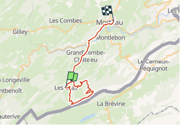

13,3 km | 19 km-effort

Utilisateur


Application GPS de randonnée GRATUITE
 SityTrail
IGN / Instituts géographiques
SityTrail World
Le monde est à vous
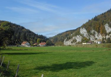
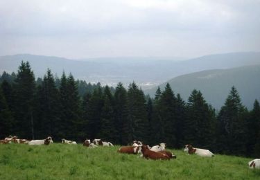
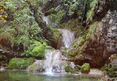
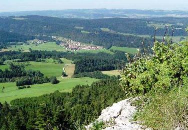
Randonnée Marche de 25 km à découvrir à Bourgogne-Franche-Comté, Doubs, Les Gras. Cette randonnée est proposée par ezola.

Marche
Marche

Marche
Marche
Marche

Marche
Marche
V.T.T.

Autre activité